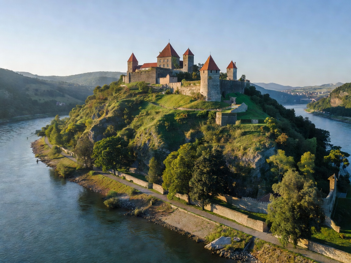
Continental Hydrography & Itineraries

Europe’s Greatest Rivers to Explore by Boat, Road & Foot

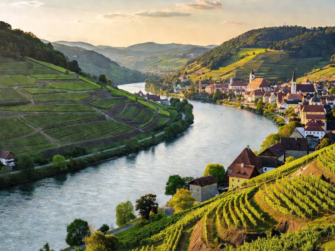
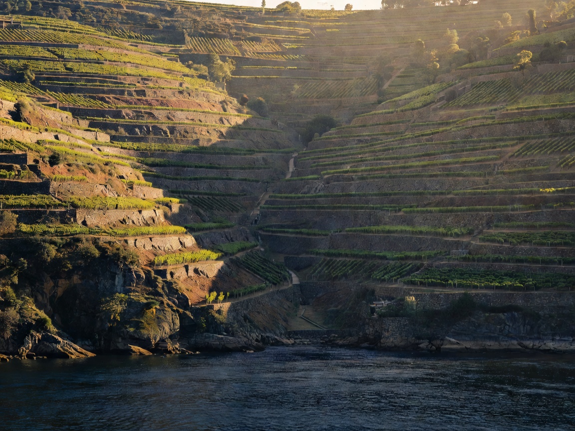
From the volcanic hills of the Danube Bend to the terraced schist of the Douro canyon, trace continental civilization along its historic freshwater arteries through multimodal navigation.

The Five Canonical Passages

Field Guides to Continental Waterways

Each passage combines river barge or passenger vessel moorings, riverside two-lane scenic byways, and continuous towpath walking or cycling trails.

Multimodal Methodology

How to Experience Continental Watercourses

Understanding river topography requires shifting perspectives between the water's surface, the flanking riverbed roads, and the high ridge towpaths.

I

By Boat: Hydrostatic Vantage

Travelling upstream or downstream at 8 to 14 knots places you inside the river's dynamic hydrographic plane. You observe channel buoys, water depth soundings, lock hydraulic operations, and the sheer verticality of valley walls.

  • Low wake regulations across historical reaches
  • Dual lock chamber procedures at continental dams
II

By Road: Fluvial Byways

Riverbank trunk roads trace the ancient transport dykes and military highways. Driving these corridors allows rapid crossings via historic suspension bridges and cable ferries while accessing panoramic overlooks impossible from water level.

  • National corridors: Germany's B9, Portugal's N222, France's D952
  • Unbridged cable ferry passages that preserve regional continuity
III

By Foot: Historic Towpaths

Before steam tugs, beasts of burden hauled barges along continuous towpaths (le chemin de halage, Treidelpfade). Today, these graded paths form long-distance pedestrian corridors offering intimate views of river hydrology, fauna, and stone masonry.

  • Level-graded walking along EuroVelo 6 and regional trail networks
  • High cliff ridge routes like the Rheinsteig and Wachau World Heritage Trail