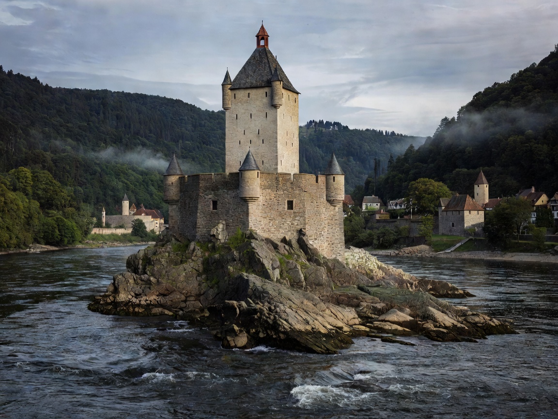
The Geological Throttle: The Binger Loch and the Loreley
The Rhine (German: Rhein) is Western Europe's most vital commercial transport artery, yet its most famous section—the Upper Middle Rhine Valley—is also its most hydrologically challenging. At the Binger Loch (Bingen Hole), the river leaves the broad, shallow Mainz Basin and funnels into a narrow, twisting slate trench. Centuries of blasting were required to widen the original reef openings to permit today's heavy barge convoys.
Nowhere is this contraction more intense than at the Loreley Rock near Sankt Goarshausen. Here, the river narrows to approximately 115 meters, deepening into underwater scour holes exceeding 25 meters. The swift current (often running faster than eight kilometers per hour) and sharp blind bends require a sophisticated maritime signal system (the Wahrschau), which controls alternating one-way traffic for heavy upstream and downstream commercial pushed convoys.
By Boat: White Fleets and Working Barges
Experiencing the Rhine Gorge from the water puts you side-by-side with heavy industrial traffic and excursion passenger ships. The Köln-Düsseldorfer (KD) line and regional white fleet vessels provide hop-on, hop-off passenger services stopping at historic landings on both shores, including Bacharach, Kaub, Oberwesel, and Boppard.
Navigating downstream from Bingen to Koblenz is swift; passenger ships run with the current, gliding past forty hilltop castles—including Burg Rheinstein, the twin keeps of Liebenstein and Sterrenberg (the "Hostile Brothers"), and the sprawling fortress of Rheinfels. Navigating upstream is a slower, deliberate experience: the throbbing engines of four-barge push-tows show the raw physical resistance of the water. For independent recreational boaters, the Rhine requires a certified Inland Navigation License with a specialized Rhenish endorsement due to the intense cross-currents and rigorous right-of-way regulations.
By Road: Paralleling Rail and Water on the B9 and B42
Two distinct roads flank the Rhine Gorge, each accompanied by a major railway line carrying steady freight traffic:
- Bundesstraße 9 (Left / West Bank): Running from Bingen through Bacharach and Boppard to Koblenz, the B9 is the primary scenic corridor. It runs right along the water's edge, passing directly beneath slate cliffs and providing easy access to historic town squares. In Bacharach, timber-framed houses and the Gothic ruin of Wernerkapelle sit just a short stroll from the riverside car parks.
- Bundesstraße 42 (Right / East Bank): Passing through Rüdesheim, Kaub, and Sankt Goarshausen, the B42 offers superior views of the castles on the opposite bank. Noticeably, there is not a single road bridge across the Rhine in the entire 65-kilometer UNESCO stretch between Mainz and Koblenz. Cross-river communication relies entirely on robust vehicle roll-on/roll-off ferries operating between Bingen-Rüdesheim, Niederheimbach-Lorch, and Sankt Goar-Sankt Goarshausen.
By Foot: The Rheinsteig vs. The Rheinburgenweg
Hikers along the Middle Rhine are treated to two competing long-distance ridge paths:
On the eastern right bank, the Rheinsteig follows demanding contour lines high above the water. Rather than staying on the flat valley bottom, the trail repeatedly climbs steep lateral ravines (Klammen) through ancient oak forests and sheer slate vineyard steps. The stage between Kaub and Sankt Goarshausen passes directly over the crest of the Loreley plateau, offering dizzying vertical perspectives onto passing cargo ships far below.
On the western left bank, the Rheinburgenweg stays closer to the castles, linking the fortress ramparts of Sooneck, Stahleck, and Schönburg. In Boppard, hikers can also experience the Mittelrhein Klettersteig, an engineered via ferrata with eleven ladders and over three hundred steel stirrups mounted directly into the near-vertical rock face above the river’s sweeping Bopparder Hamm loop.
Navigational Realities: Pros & Cons
Advantages
- Highest concentration of medieval castles and historic keeps in the world.
- Exceptional train connections on both banks running alongside the river path.
- Efficient roll-on/roll-off ferries operating from dawn until late evening.
- Challenging and well-waymarked high-elevation ridge hiking trails.
Challenges & Considerations
- Continuous railway freight noise on both banks can impact light sleepers.
- Powerful river currents make recreational open-water swimming strictly prohibited.
- Low summer water levels at Pegel Kaub can disrupt deep-draft cargo operations.
Field Planning & Seasonal Highlights
The Middle Rhine is at its best from May to October. May brings vibrant green oak canopies and open terrace dining, while September and October feature the lively autumn grape harvest along the steep slate slopes of the Bopparder Hamm and Kaub. Spring visitors should monitor river discharge gauges; high alpine snowmelt in combination with tributary rain can occasionally trigger high-water restrictions (Hochwassermarke), which temporarily slows or halts river navigation.