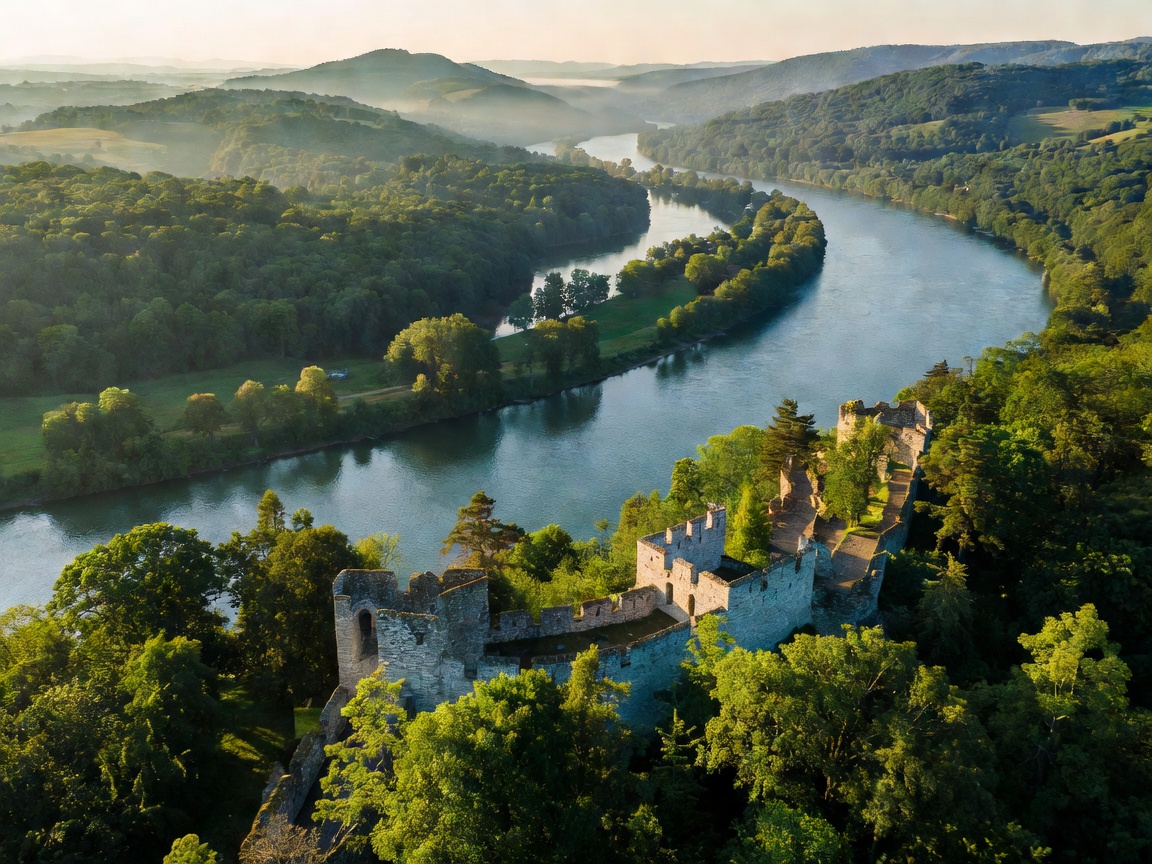
Hydrographic Profile of the Hungarian Sector
The Hungarian stretch of the Danube (Hungarian: Duna) enters the country just below the Gabčíkovo hydro-complex along the Slovakian border. Here, at the head of the Szigetköz inland delta, the river divides into a maze of winding branches before reuniting near Komárom. The gradient drops considerably compared to the Austrian alpine reaches, transitioning the stream from a gravel-bed river into a sand-and-silt depositional system.
The geographic climax of the upper reach occurs at the Danube Bend (Dunakanyar). Forced by the resistant volcanic bedrock of the Pilis and Börzsöny mountains, the river makes a near-right-angle turn southward, carving a narrow, steep-sided gorge. For boat skippers, this bend requires careful alignment with channel beacons, as variable water depths and shifting alluvial gravel bars fluctuate between the spring snowmelt and late-summer low-water marks.
Exploring by Water: Scheduled Hydrofoils, Day Cruisers & Small Craft
Navigating the Hungarian Danube by boat offers two starkly contrasting experiences: the bustling metropolitan canyon of Budapest and the serene, wide-open corridors of the Pannonian basin.
During the operating season from April through October, scheduled passenger vessels and hydrofoils connect Budapest's Vigadó tér terminal with the historic artisan enclave of Szentendre, the medieval royal fortress of Visegrád, and the primate seat of Esztergom. From the water, the approach to Esztergom Basilica reveals the structure’s neoclassical dome commanding the high bluff above the Mária Valéria border bridge. Farther south past Budapest, the river opens dramatically. Here, day cruisers and private touring skiffs encounter the Gemenc Forest, part of the Duna-Dráva National Park, where shallow side channels (fok) can be explored via small, low-draft canoes and electric tour tenders that navigate between willow and black poplar stands without disturbing nesting black storks.
Exploring by Road: Following Route 11 and Route 51
A driving tour along the Hungarian Danube reveals how terrain dictated historic settlement patterns:
- The Right Bank (Route 11): Originating in Budapest, Route 11 hugs the curves of the Pilis mountains. It winds through Szentendre, offering stone-paved alleys and Serbian Orthodox church steeples, before climbing along the shoulder of the Visegrád hills. Turn-outs near the Solomon Tower afford unobstructed views of cargo pusher barges tackling the current. Across the river, car ferry ramps (komp) at Visegrád and Nagymaros provide vehicular crossings without bridge detours.
- The Left Bank (Route 12): Running from Vác to Zebegény and Szob, Route 12 hugs the base of the Börzsöny mountains. It is quieter than its western counterpart, passing colorful Belle Époque holiday villas and the scenic loop where the Danube turns squarely south.
- The Southern Plains (Route 51): South of Budapest, Route 51 follows the left bank across flat agricultural terrain to Kalocsa and Baja. Baja is celebrated for its bustling fish market and the open-fire preparation of haláslé (Danube river fish soup with local sweet paprika).
Exploring on Foot: Towpaths, Forest Trails & Fortress Overlooks
Pedestrian exploration along the Hungarian Danube pairs level riverbank walking with vigorous ridge ascents:
The paved towpaths along EuroVelo 6 provide continuous walking along the riverbed, especially between Szentendre and Dunaalmás. For hikers seeking dramatic vantage points, the Spartacus Path (Spartacus-ösvény) near Pilisszentistván runs along high contour lines above the gorge, offering framed perspectives through beech forests down onto river navigation markers. Further north, climbing from Zebegény up to the Julianus Lookout Tower on Hegyes-tető delivers a 360-degree panorama of the entire loop of the Danube Bend.
Navigational Realities: Pros & Cons
Advantages
- Direct urban moorings in the heart of Budapest near major transit lines.
- Continuous, well-marked towpath routes on both banks for walking and cycling.
- Inexpensive vehicle cable ferries maintaining rapid cross-river connectivity.
- Rich cultural heritage spanning Roman border forts to medieval royal castles.
Challenges & Considerations
- Summer low water levels can periodically suspend deep-draft commercial cruising.
- Heavy urban barge traffic through Budapest requires vigilant lookout in small boats.
- Few pedestrian bridges across the Danube outside of metropolitan Budapest.
Field Planning & Seasonal Timing
Late May through early June and September through mid-October offer optimal conditions. Early summer brings lush foliage and reliable flow rates for river craft, while autumn clears summer haze from the Pilis lookouts and lowers ambient humidity for extended towpath walks. Winter navigation is maintained for commercial cargo, but scheduled regional passenger ferries operate on reduced or suspended timetables between November and March.